Tebbetts is a farming community in southwestern Callaway County, located less than a mile from the Missouri River, nestled in the river bottoms along the Katy Trail with hills rising around it.
Location
The small unincorporated community of Tebbetts is located about 14 miles northeast of Jefferson City on MO Highway 94. Tebbetts is approximately 1 mile from the site of Cote Sans Dessein, once a fort and the earliest settlement in the county established around 1808. The USGS coordinates are Latitude 38°37’14”N Longitude 91°57’45”W. The Atlas shows it in Twn 45N, Rng 9W, Sec 32.
Settlement
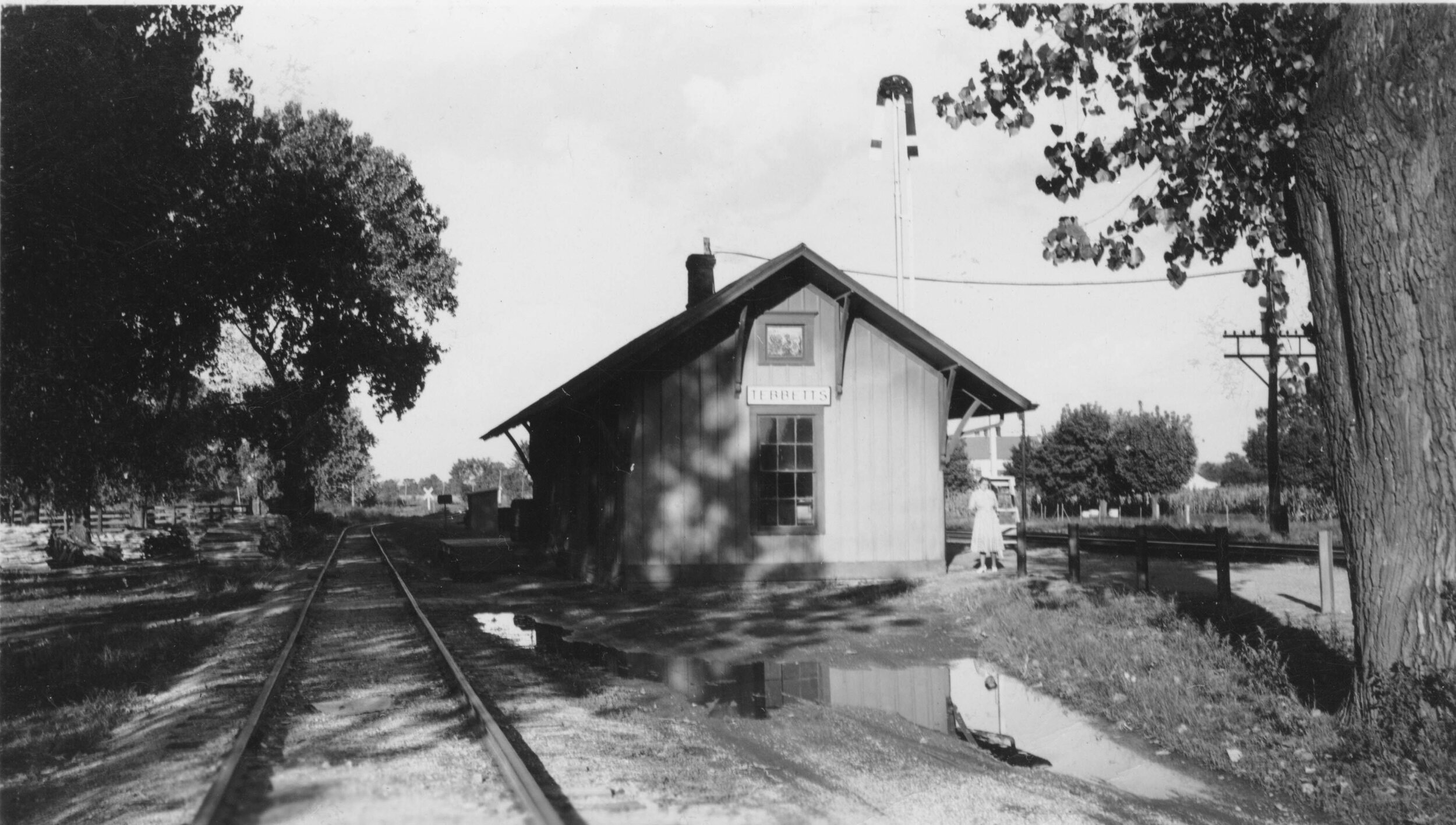
Martin L. Sentman gave the Missouri, Kansas and Eastern Railroad (known now as the KATY Railroad) land for a right-of-way to expand its mainline through Southern Callaway County on March 25, 1893. He also plotted a village at this same time.
In 1894, the post office was moved from a nearby steamboat stop called Hord’s Landing to the new village. The village was then named after Louis Bates Tebbetts, a director of the Continental National Bank of St. Louis and an officer of the railroad.
The Ridge, an area once populated by descendants of former slaves, was within walking distance of the village center. This ever-important community within a community was centered around Oakley Chapel AME Church and cemetery on a hill overlooking the village center.
Economy
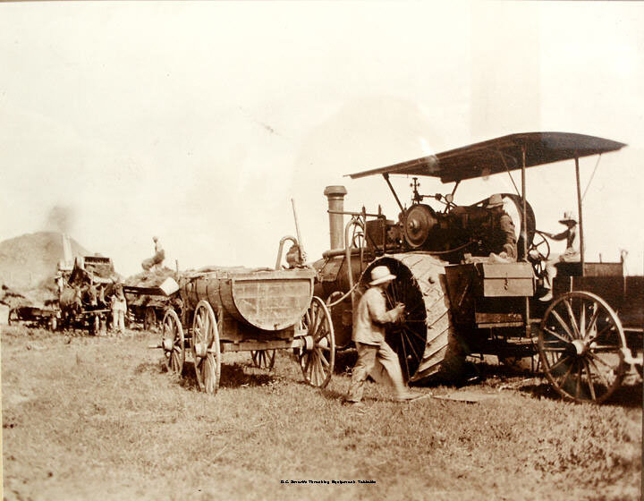
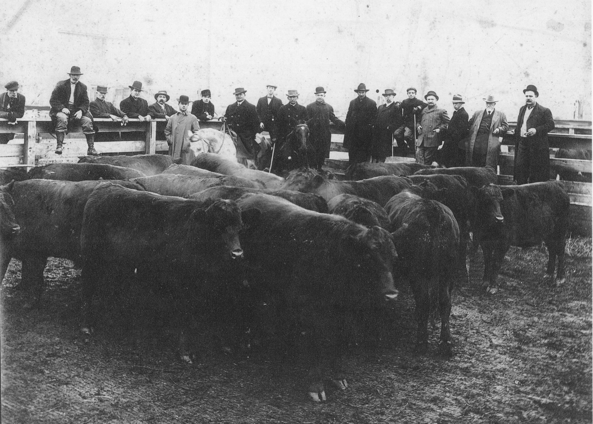
In October 1899, the town published a newspaper. By 1900, Tebbetts had two general stores, a drugstore and a “medicine man.” The early 1900s also brought other businesses such as a lawyer, doctor, lumber yard, blacksmith, restaurant, tavern, hotel and bank to name a few. In 1919, the W.A. Rootes & Co. Grain Elevator was built near the site of a mill and livery.
The bank was opened by W.R. Hord in 1906, closed in 1929. Smart Brothers Farms Incorporated built a second elevator in Tebbetts in 1974. They still operate this elevator, as well as farm a large amount of the Missouri River bottomland in Callaway County.
Infrastructure
Two churches, a Baptist church and a United Methodist church and two lodges helped unify the community. Members of the Methodist Church first held meetings in the Ferguson School. The United Methodist Church is the only remaining church with weekly services. Oakley Chapel still stands, but no services are offered.
In 1948, the first annual community picnic was held at the school. In 1950, the current Community Hall was built and used as a gathering center.
Education
The Ferguson School was built on the John L. Ferguson farm, 1 1/2 miles south of Tebbetts. In 1895, it was moved into Tebbetts. In 1903, a second room and teacher were added. A third room and two years of high school were added in 1932. The school was annexed into the Jefferson City school system in 1968.
Today
Tebbetts still maintains a post office. The Fourth of July festival, started by the community in 1949 to raise funds to build a new community and lodge building, still occurs every year.
Points of interest include the old cement W.A. Rootes & Co. grain elevator and its greenwood fur shed; the Turner Katy Trail Shelter; a small two-room house that was moved from the Ridge; Oakley Chapel AME Church, which is on the National Register of Historic Places; the Tebbetts Katy Trail State Park Trailhead; and the Community Hall, which features a sign proclaiming Tebbetts as the unofficial geographical center of the continental U.S. based on studies of the 2010 census by Grand Valley State and University of Michigan professors.
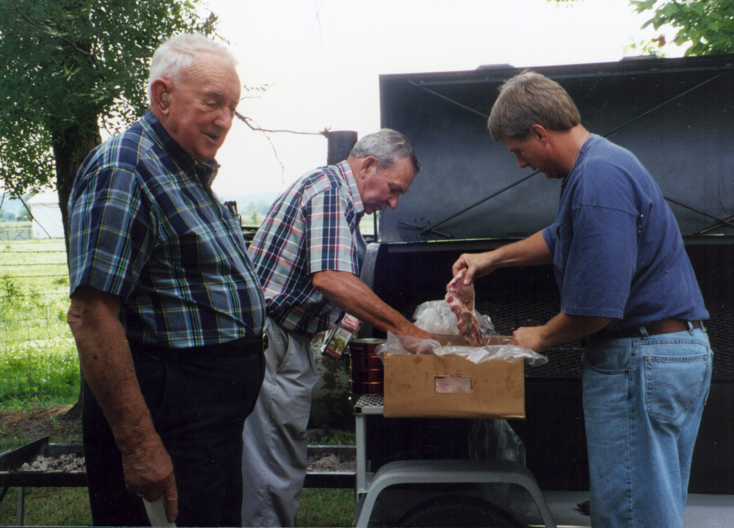
The community is growing again with the development of land above the business center. The most recent census found there are a little over 1,000 citizens who use the Tebbetts ZIP code, 65080.
Compiled January 2021
For more information and resources contact the Research Center.
Tebbetts, Missouri
IMAGES OF Tebbetts, MISSOURI